The Geography of Mauritania
The Islamic Republic of Mauritania, named by the French in reference to a province of the Roman Empire, lies in the northwest of Africa. It spans an area of 1.03 million km², roughly equivalent to the combined surface area of France, Italy, and Germany. This country is bordered to the northwest by Western Sahara, to the northeast by Algeria, to the southeast by Mali, to the southwest by Senegal, and to the west by the Atlantic Ocean. Its coastline stretches for nearly 600 km.
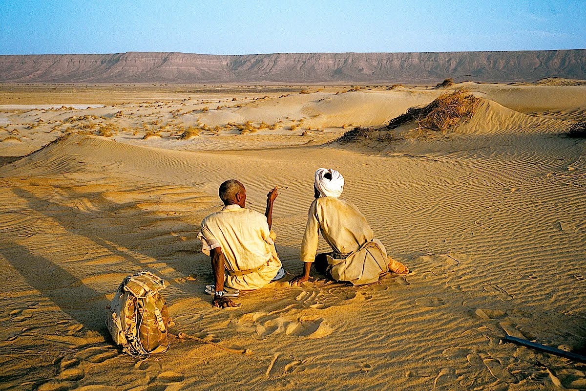
For the most part, Mauritania is a Saharan country, dominated by the Sahara Desert. The southern portion of the country is characterized by endless expanses of dunes, and venturing further south, one transitions from the Saharan region into the Sahel zone.
In terms of topography, the country is traversed along a north-south axis by a series of plateaus and escarpments that delineate two arid zones dotted with significant dune formations. At the heart of the country lie the Adrar Escarpments and the Tagant Massifs, which can be considered Mauritania's mountainous region.
At the eastern extremity of the Adrar, particularly noteworthy is a geological curiosity known as the Richat Structure. According to specialists who have studied the site, it appears to be an ancient volcano whose gases and magma managed to uplift the Earth's crust without actually piercing through it. The crust subsequently collapsed, creating several craters, some of which are partially filled today.
Mauritania is also home to numerous oases (isolated zones of vegetation amid the desert). Currently, approximately 350 oases are documented. They are primarily located in the regions of Adrar, Tagant, Assaba, and the two Hodhs—namely Hodh Ech Chargui and Hodh El Gharbi.